Abandoned & Unusual Places Around Georgia




Many travelers lately are looking for special locations that will open a time travel portal and give perfect surroundings for beautiful pictures on instagram. In this collection we have gathered some special, abandoned, historic or just out of ordinary places that are totally worth check out during a trip around Georgia.
Especially that the country is unfortunately full of abandoned but still beautiful monuments of cultural heritage and history.
This article excludes amazing places located in Tskaltubo and Tbilisi. Those two have their own specific pages you really do not want to miss.
Almost all the photographs belong to the organization Geo Stalk that films all abandoned and peculiar places in Georgia and other countries as well. They take great photos l and maybe even organize tours to these destinations. Definitely do check their Facebook page for more information and more locations – Geo Stalk – Urbex And Hiking

Didgori Monument
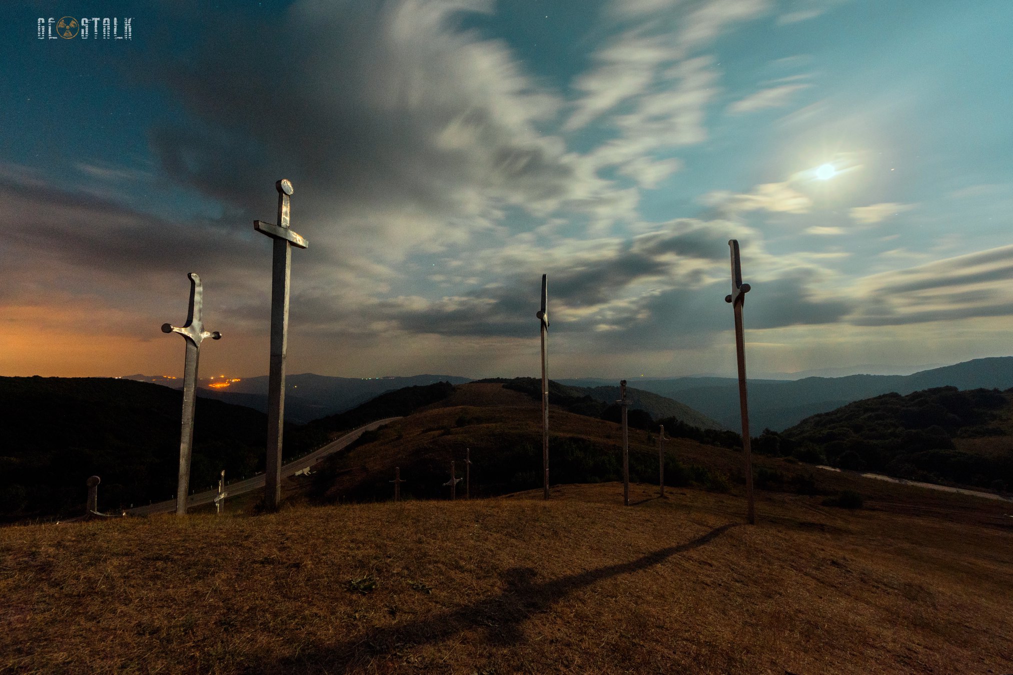
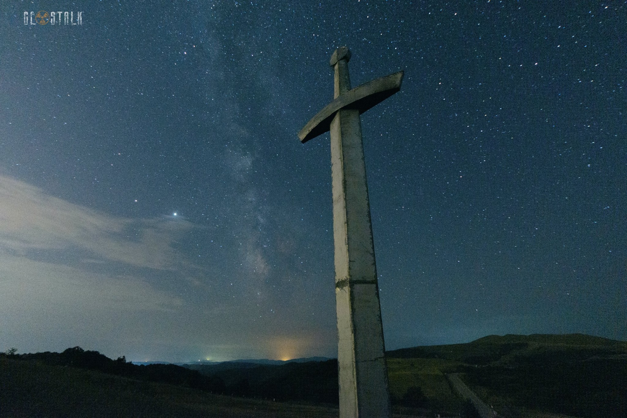
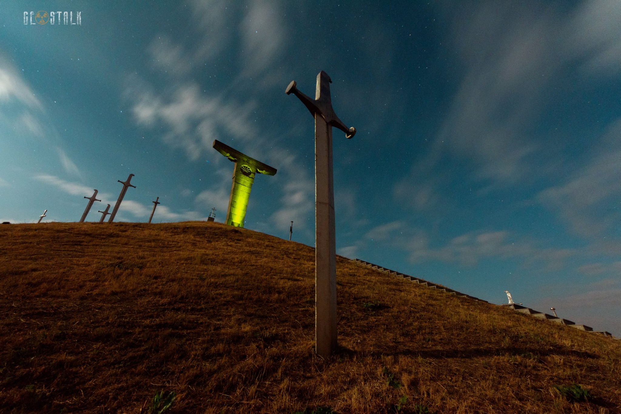
The Didgori Monument stands on the battlefield near Tbilisi, commemorating the legendary Battle of Didgori in 1121, when King David IV of Georgia defeated a much larger Seljuk army. The monument’s design is modern yet dramatic: a series of bronze and steel sculptures depict Georgian knights charging into battle, frozen in motion against the mountains and sky.
It’s both a historical tribute and a striking visual landmark, set in open fields where the battle once took place. Visitors can walk among the sculptures and feel the scale of the conflict, while the surrounding hills provide panoramic views of the region. Didgori Monument celebrates Georgian courage and unity, linking the country’s medieval past with a sense of national pride today.
View on map



Former Pioneers’ Camp Tsiskari
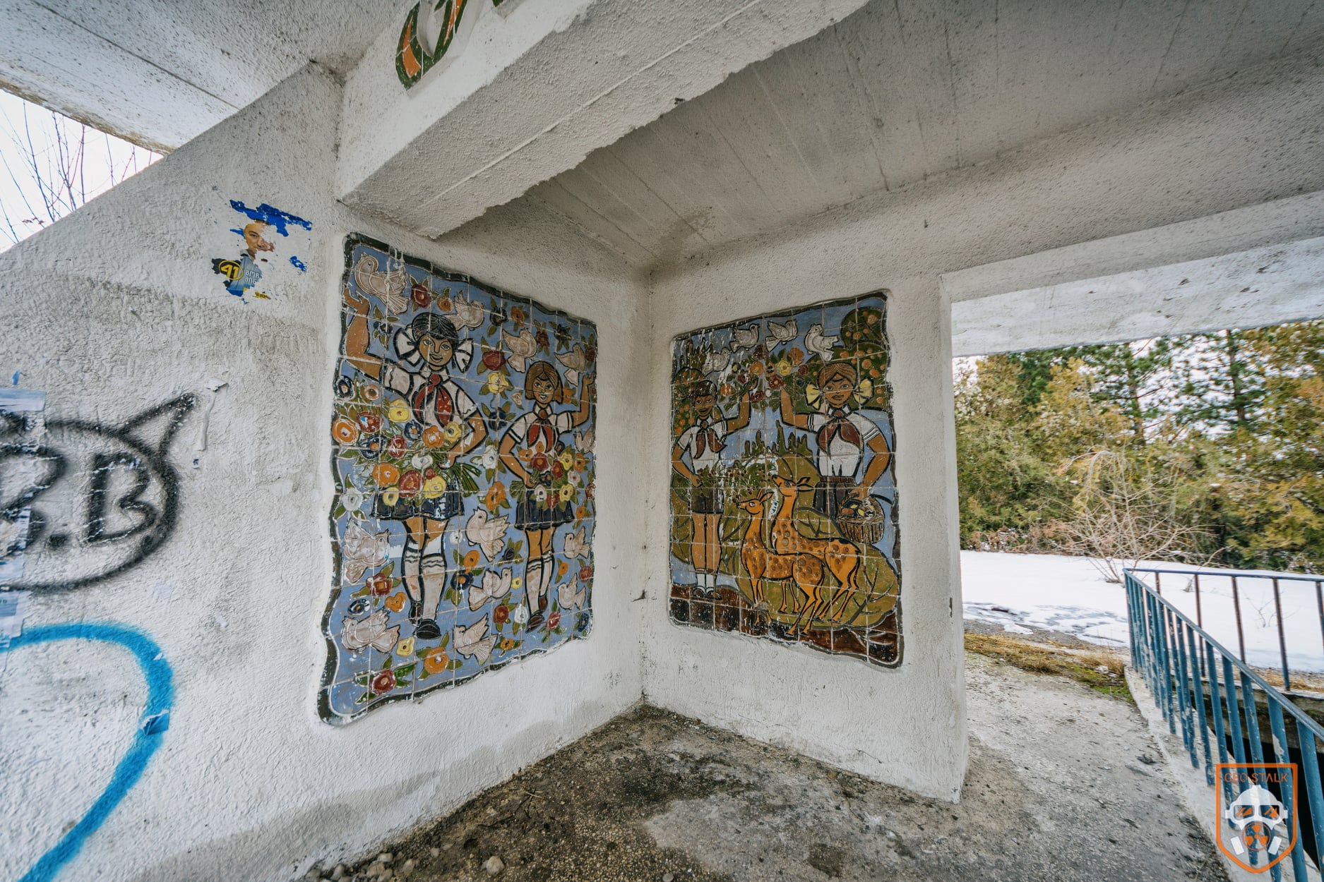
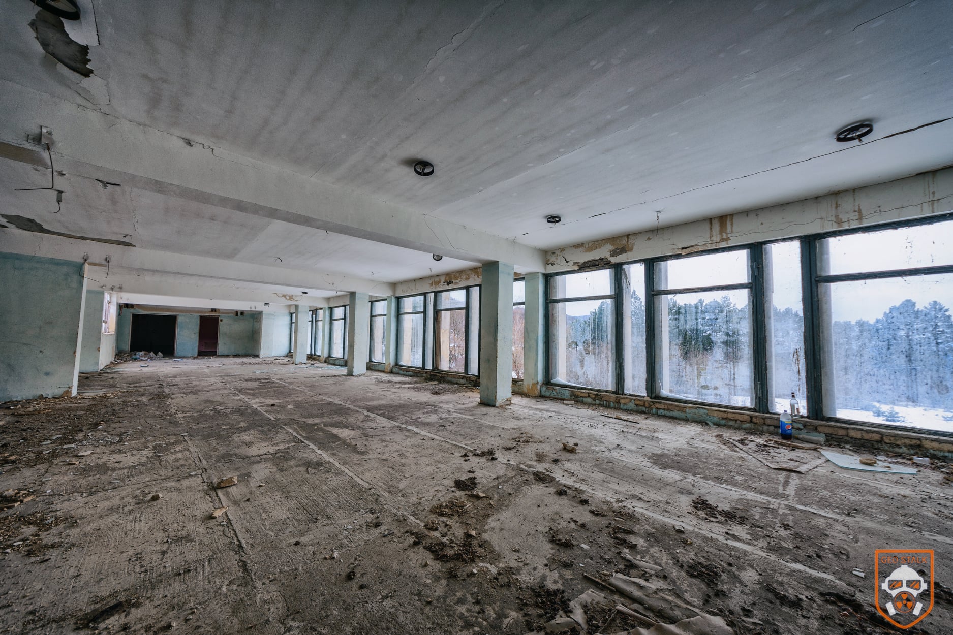
The former Pioneers’ Camp “Tsiskari” sits in the forested hills near Tskhvarichamia, not far from Tbilisi. Once a lively Soviet-era summer camp for children, it is now an abandoned complex slowly being reclaimed by nature. The site still holds scattered buildings, empty sports fields and silent pathways, giving the whole area a slightly nostalgic, slightly eerie atmosphere.
Visitors who reach it find a quiet place wrapped in pine trees, with views opening toward the surrounding valleys. The camp’s faded murals, playground structures and overgrown courtyards hint at the scale of youth programs that once operated here. Today, Tsiskari is mainly explored by hikers, photographers and anyone interested in forgotten Soviet architecture hidden in the woods. More photos here




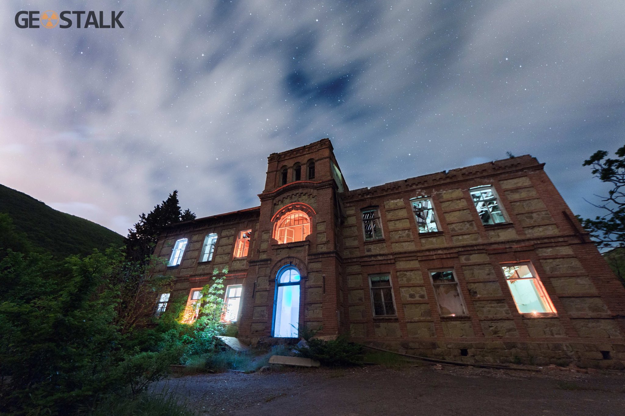
Karsan Geophysical Observatory
The observatory was originally part of the Tbilisi Geophysical (Magnetic) Observatory. When Tbilisi became electrified in the early 1900s, magnetic measurements there were disturbed, so in 1905 the observatory was relocated to Karsani (near Mtskheta)
The site includes a striking Art Nouveau-style main building, built between 1910–1912, overlooking the Karsani gorge and the surrounding mountains. The observatory had pavilions for absolute measurements, underground structures for magnetographs, and residential buildings.
Its scientific importance was once very high: Karsani sent data on magnetic days to international networks, but by the 1930s, due to railway vibrations affecting measurements, its functions were moved to Dusheti.
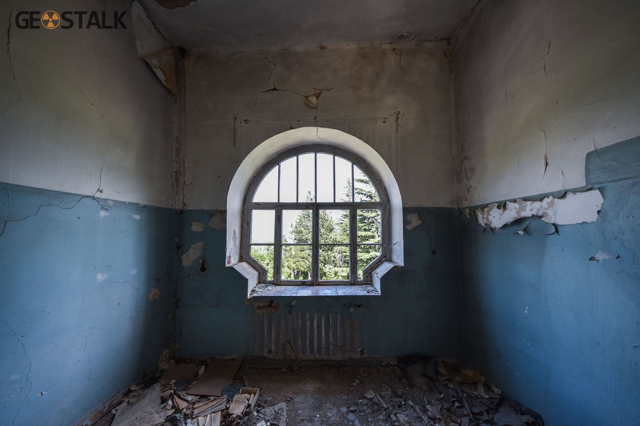
Today, the building is mostly abandoned. According to explorers, the roof is partly collapsed, interior walls are deteriorating, and leftover medical supplies show it was used later as a tuberculosis clinic.
Architecturally, the building is recognized as a cultural heritage monument in Georgia.The land today belongs in part to the church (the local “Holy Trinity” monastery territory), so access may be restricted.
Because of safety and ownership issues, visiting the pavilion – especially the underground portion -is not usually recommended by those who know the site.



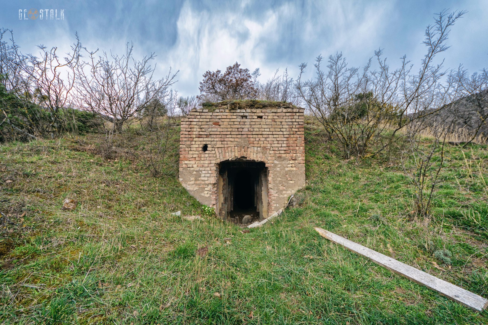
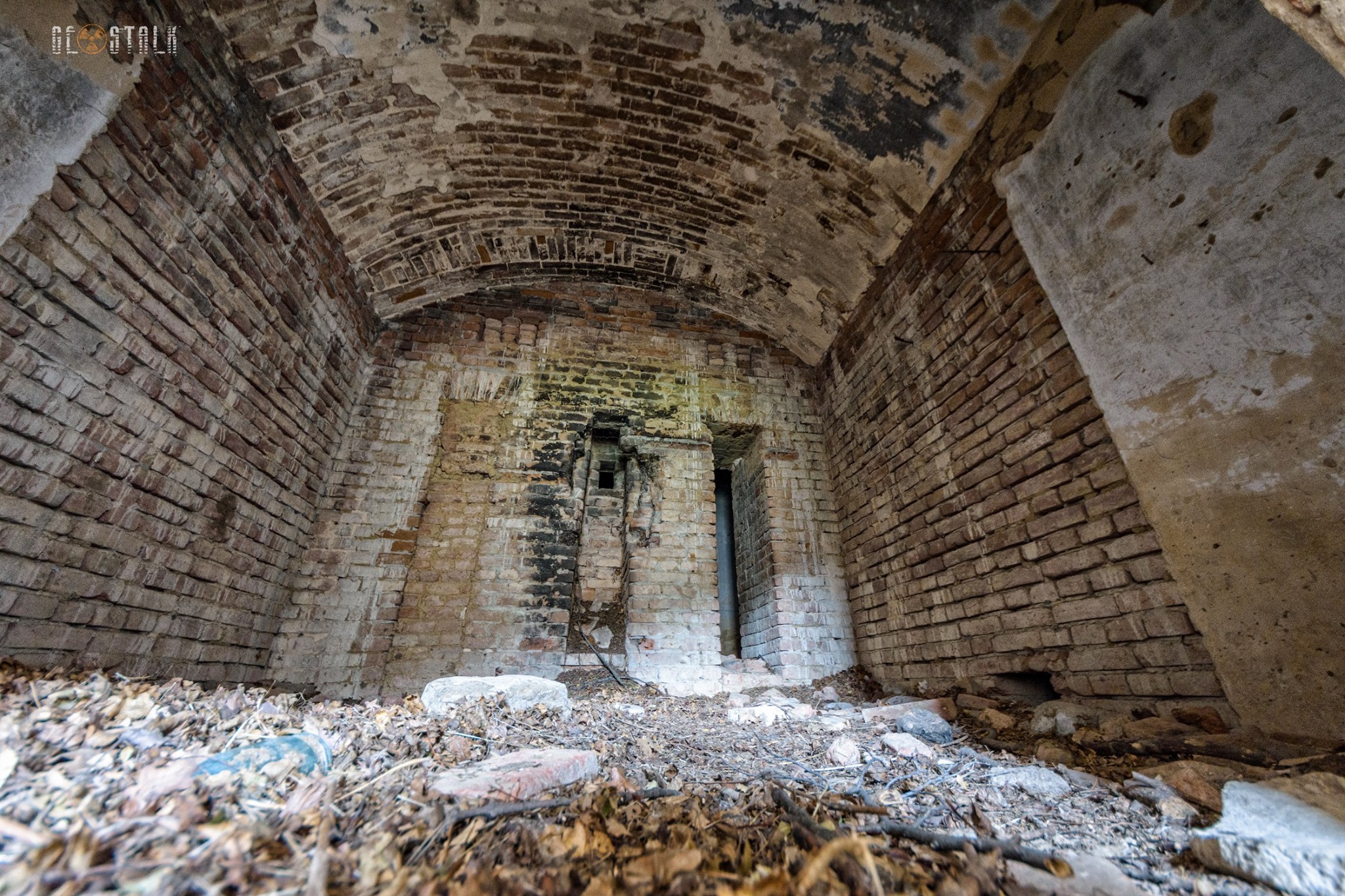
Karsan Underground Pavilion
The underground pavilion was part of the scientific infrastructure of Karsani Observatory used for precise geophysical/magnetic measurements
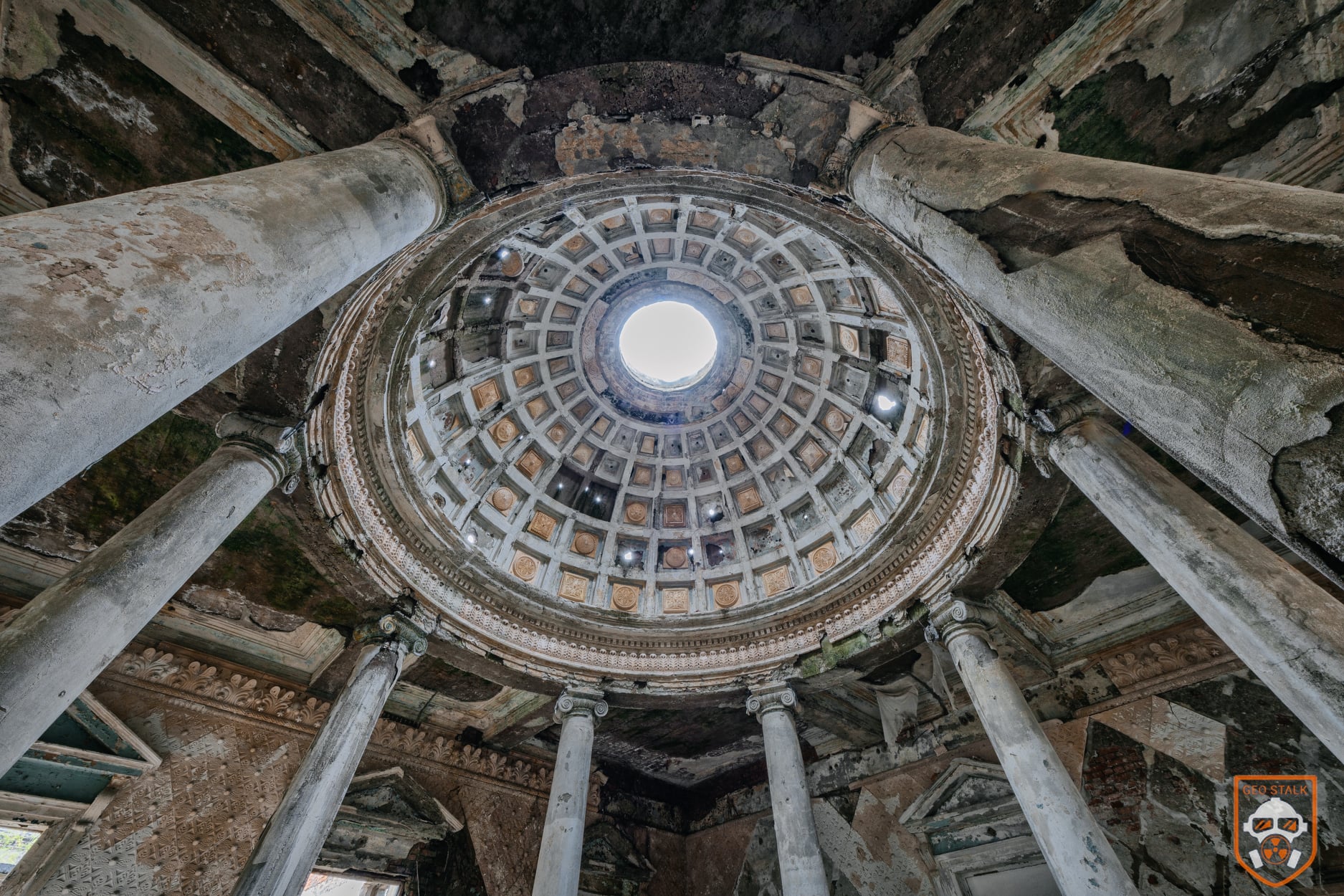
It’s located a short walk from the main Geophysical Observatory, right at the edge of a ravine, it is a second underground complex with long dark corridors and two round chambers. Both rooms are circular with domed ceilings — one finished in red, the other in blue. These spaces once held magnetometers and other sensitive instruments. A separate corridor wrapped around the chambers to keep their temperature and humidity stable, which was essential for accurate readings.
The building originally had three access points, but scientists entered it only when necessary so they wouldn’t disturb the controlled environment. This is where measurements of the Earth’s magnetic field were carried out, data that also helped in early earthquake forecasting.
Myths and Rumours vs Reality
Local legends claim that in WWII under orders from powerful Soviet figures the valley was evacuated and secret weapon-development or radiation experiments happened there. That narrative has circulated widely – but there’s no verified evidence for it.
On the other hand, the documented reality is that Karsani was a scientific site: a magnetic observatory important enough to participate in global geomagnetic monitoring networks during the 1920s. Publications from this era used data from Karsani and shared from there internationally.
View on map



The Wagon Bridge
Visitors near Akhalkalaki can expect a very interesting sight: there is a wagon bridge on the river Paravani. According to locals, its construction began in the 70s. In the beginning it was used as a restaurant but sadly small business did not survive and the bridge later was abandoned. Currently the base of the wagon is rusted and it is dangerous to cross it but still occasionally used by locals
View on map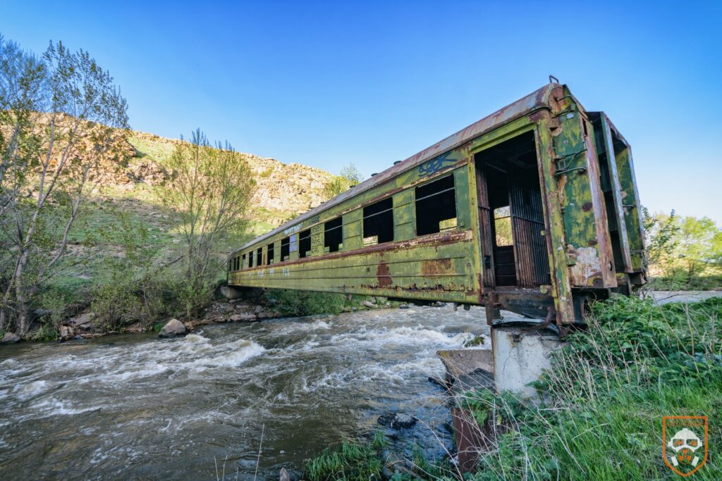


Bombardier Su-15T in Terjola
There’s a Sukhoi Su-15 (a Soviet-era interceptor aircraft) on display in Terjola, Imereti. The Su-15 was a cold-war supersonic fighter-interceptor, designed for air defense. According to local sources, the jet has been parked in the yard of Terjola’s former military / police commissariat for over 30 years. Its presence is a bit of a monument to Soviet military heritage – the aircraft was reportedly handed over there by a high-ranking military official back in the 1980s. On aviation history sites, it’s identified more precisely as a Su-15T with serial number 40 blue, giving it a documented place in aircraft preservation lists.
It’s not a tourist attraction per se, and information is mostly from local social media and aviation hobbyists rather than official heritage sources – but for aviation fans or people interested in Soviet relics, it’s a quiet but striking landmark in Terjola.
The Soviet aircraft was used for combat operations in Afghanistan in the last century and its cost was 5 million Soviet rubles. According to Colonel Giorgi Liluashvili, in the yard of the Commissariat there was an almost complete military arsenal: cannons, mortars, combat helicopter MI-24 (so-called “krokodil”) and military surveillance vehicles. All the military equipment except for the SU-15, which has become a museum exhibit, was used during the war in Abkhazia against Russian forces.
The SU-15 was not taken as it’s engine had been taken out. Amiran Kikabidze, the Commissar that put the SU-15 in Terjola participated in The Abkhazia war, where he was killed during military operation. More photos here
View on map


Mudslide Protective In Telavi
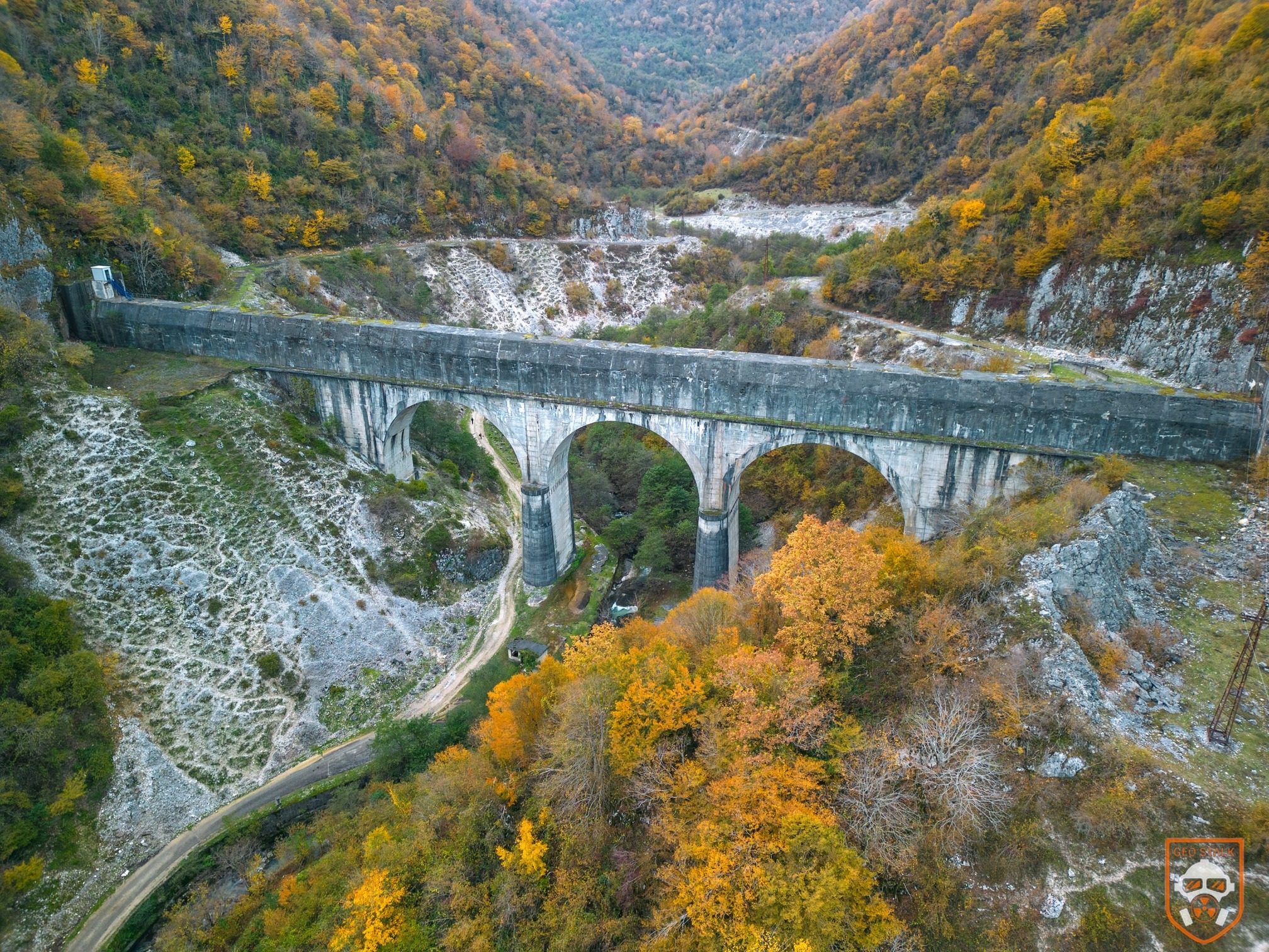
In 1978, three mudflow-retaining structures – known as the Kherkheulidze Dams – were built on the middle course of the Telaviskhevi River, which descends from the Gombori Ridge toward Telavi. Placed a few hundred meters apart, they were created after a devastating mudflow on June 14, 1977, when a powerful surge of water and debris rushed into Telavi and caused heavy damage. The river’s upper basin is badly eroded, and during intense rains it can send fast, sediment-loaded currents downstream.
Over time, the dams have suffered serious wear. Large sections are buried under layers of stones and soil, and a thick floodplain forest has grown just below the first dam, slowing the river and increasing the chance of sudden flash floods.
Today, the Kherkheulidze Dams still stand as an important part of Telavi’s protection system, yet their deteriorating state also shows how difficult it is to maintain such structures in a constantly changing natural landscape.
More photos here
View on map


Resort Menji
According to local tradition, the name “Menji” comes from the Megrelian word for sour water. Just outside Senaki lies a natural mineral spring long known for its healing qualities, and the resort built around it took on the same name. People once called it the “graveyard for crutches,” joking that many visitors left feeling so restored they no longer needed support to walk. Interest in Menji’s curative waters grew in the 1920s and 30s, when researchers – including the Latvian scientist Robert Kupts – studied Georgia’s mineral springs.
In 1938, Menji was officially declared a National Resort, and large-scale construction began. A sanatorium, hospital, and resort clinic were built, and the complex was designed to operate year-round. At its peak, Menji could welcome up to 2,000 guests at once and was one of western Georgia’s most promising health destinations.
Today, however, the resort is in ruins. After the collapse of the Soviet Union, parts of the complex were used by military units, and later by families displaced during the Abkhazia war. The buildings now stand abandoned, and the once-famous healing waters simply flow into the Tsivi River – a quiet reminder of a resort that never regained its former life
More photos here
View on map

Enguri Damm
The Enguri Arch Dam offers one of the most unusual visitor experiences in Georgia — a place where you can literally step inside the world of hydropower and see how electricity is created. As the tallest hydroelectric structure in the South Caucasus, rising 271.5 meters high, it brings together engineering, dramatic landscapes, and modern history in one impressive site. Although part of the Enguri HPP lies within the occupied region of Abkhazia, the dam itself and its infrastructure are fully open to visitors.
Since November 2021, previously restricted sections of the dam have been accessible for the first time. “Enguri Attraction” now hosts several types of tours – walking, short, and full – each led by multilingual guides. The visit begins just off the Svaneti highway, where a modern visitor center offers tickets, information, and themed souvenirs. From there, comfortable transport takes you deep into the structure, and the real exploration begins.
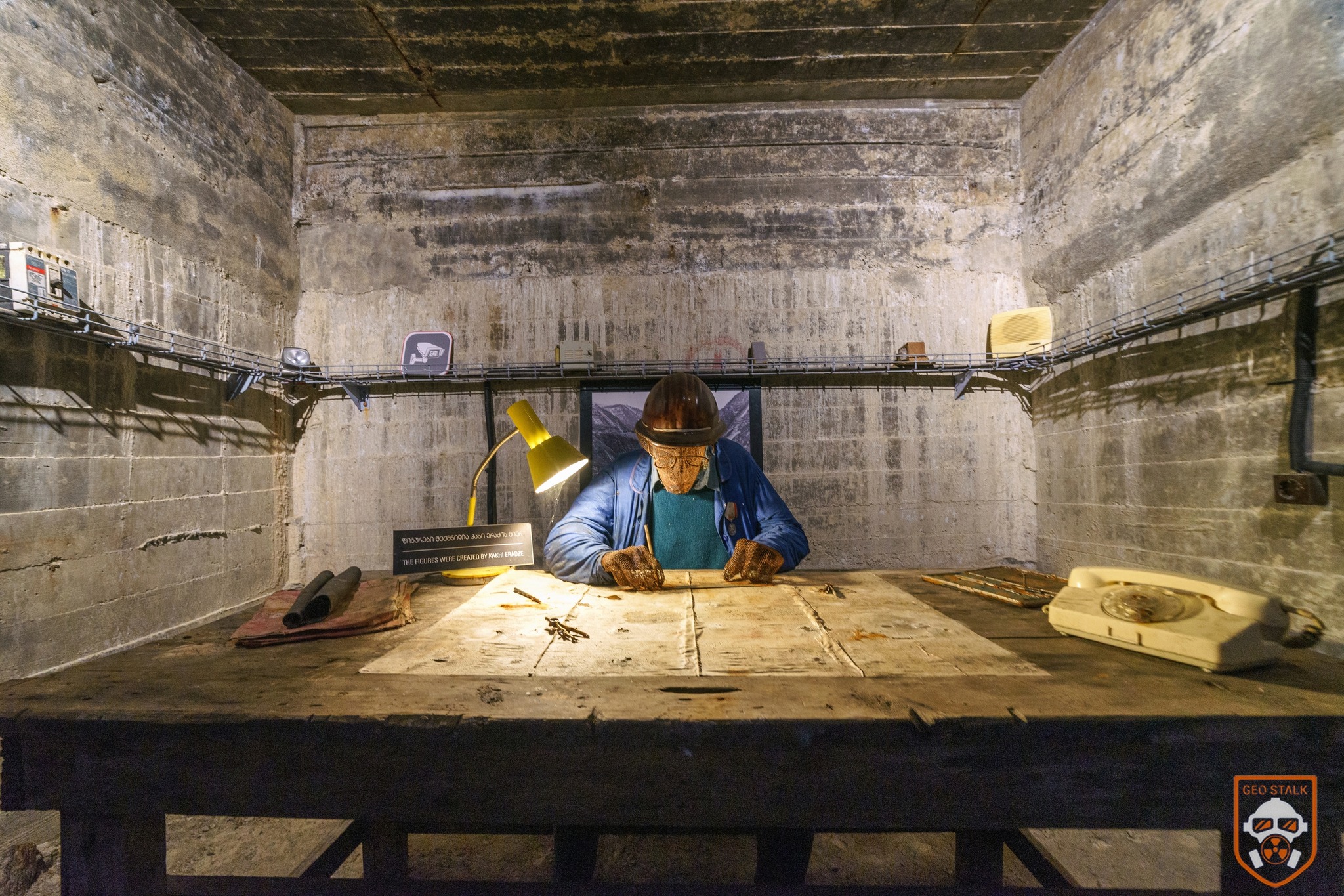
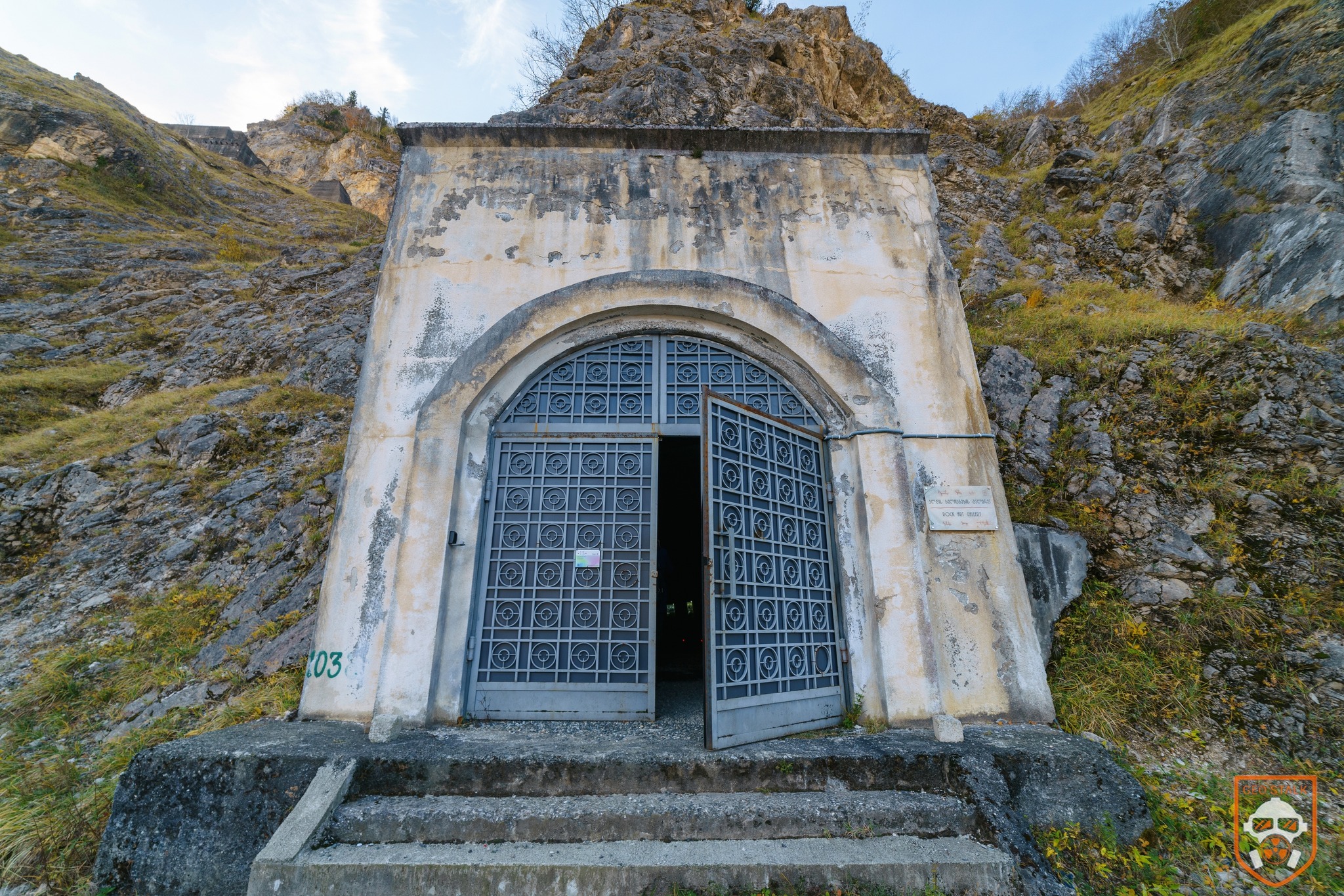
The tour includes panoramic viewpoints, the water intake system, a rock-art gallery inspired by Georgian petroglyphs, and a digital space featuring animations and documentaries about the HPP. You’ll also walk through Tunnel 315 with its art installations, and the hydraulic gate tunnel – the spot where water enters the diversion pipeline. The visit ends at an open platform where you can record impressions or simply enjoy the sweeping views over the dam. It’s more than a tour – it’s a full immersive experience. For more details, visit the official website: www.enguridam.ge.


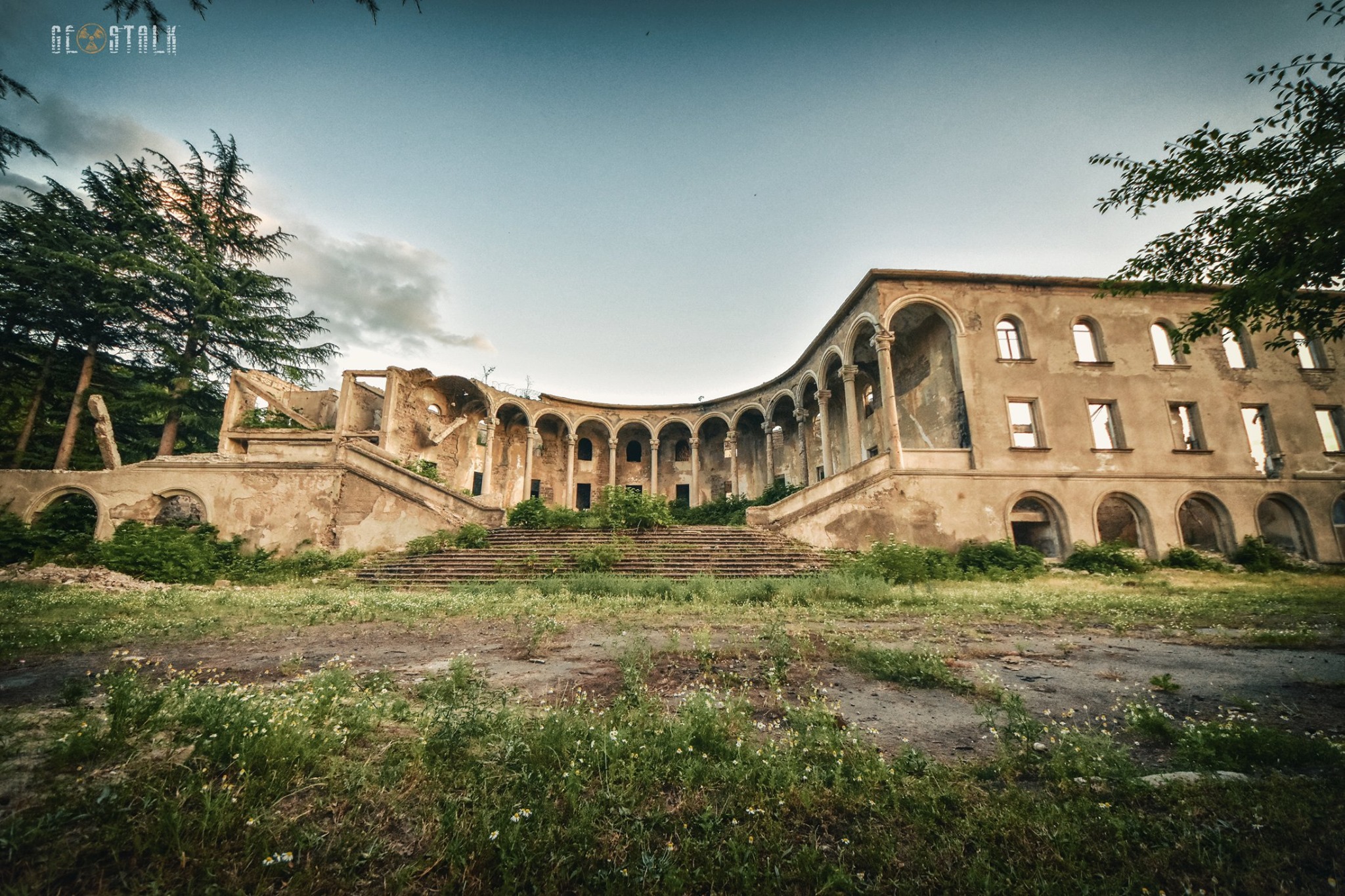
Pioneer palace of Chiatura
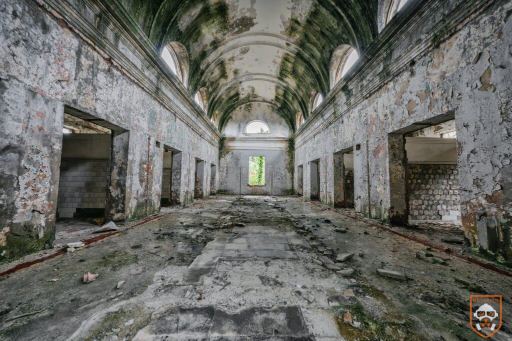
Chiatura’s Pioneer Castle was built in the early 1960s by the Georgian architect Chkheidze and is one of only three buildings of its kind in the country – the other two stand in Tkibuli and Tkvarcheli. In its active years, it served as a lively cultural and educational center, hosting art and medical classes, community events, and even its own small museum. The building remained in use until 2007, after which it was fully abandoned.
Over the years, the site was looted and left without maintenance, causing the structure to deteriorate rapidly. In 2014, plans were made to demolish the building, but local activists managed to stop the process. Today, only fragments of the Pioneer Castle survive – mainly the front columns and portions of the first floor, standing as a reminder of Chiatura’s Soviet-era architecture and cultural life.
View on map


Tea Museum Of Chakvi
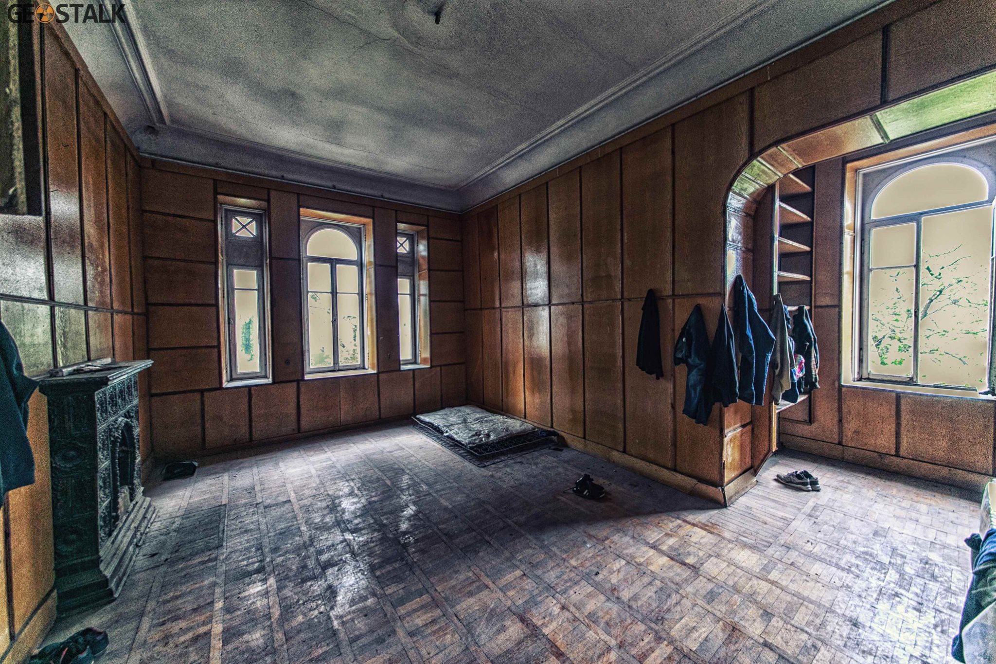
The building dates back to the 19th century, a period when tea culture in western Georgia was flourishing. It was during this time that the Chinese master Lao John Jaao brought the practice of tea blending to the region. The building itself is a three-story structure with a basement and a yard, set right along the Black Sea coast. Remarkably, both the exterior and interior have been preserved in excellent condition. More photos here
View on map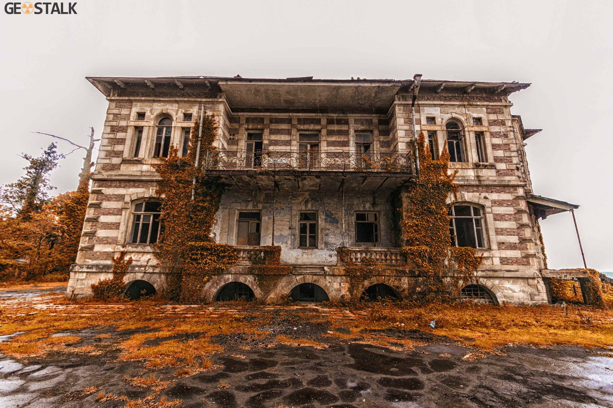






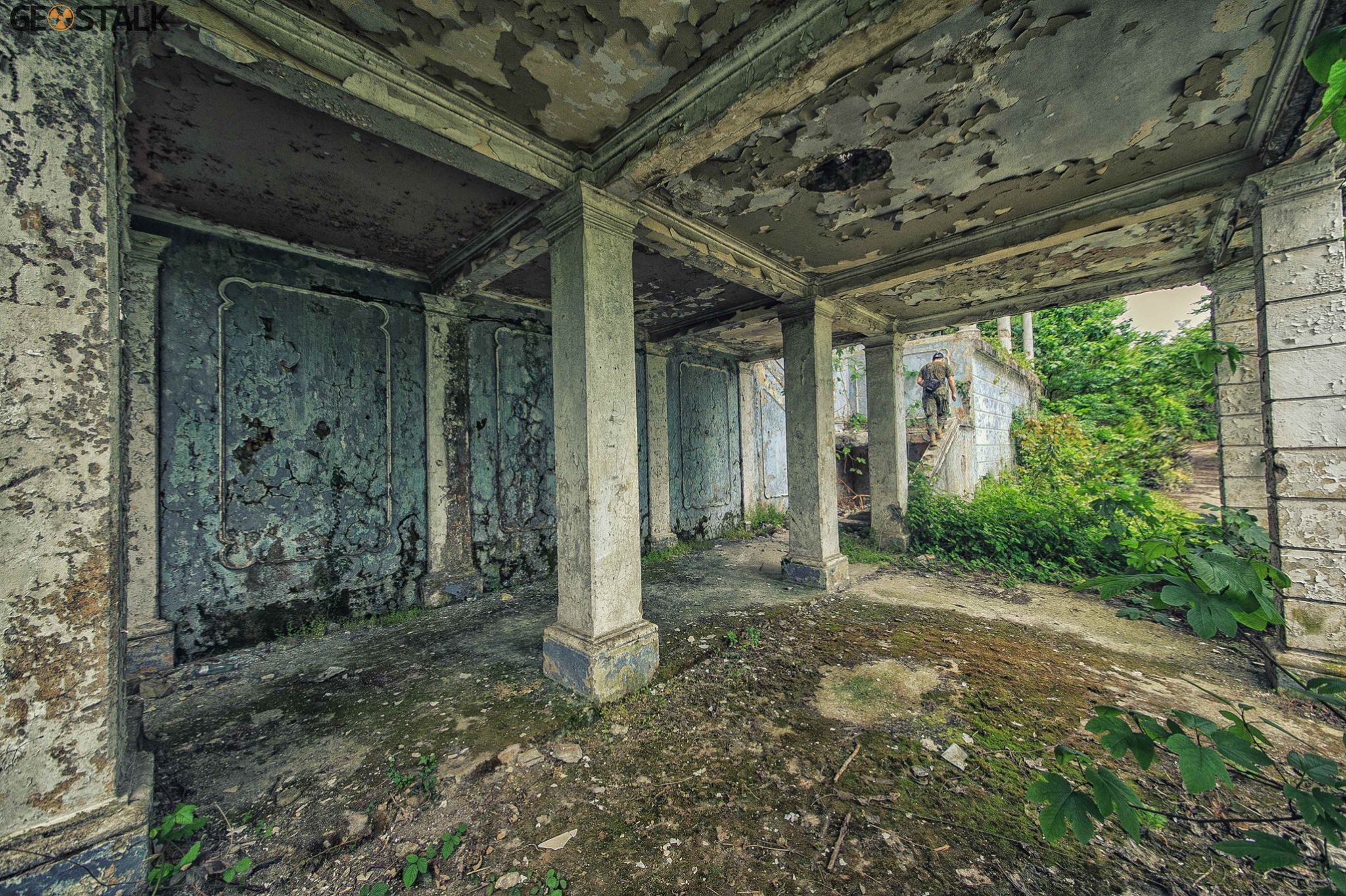
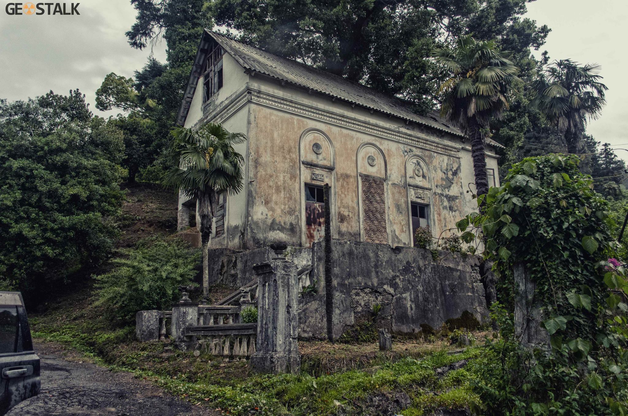
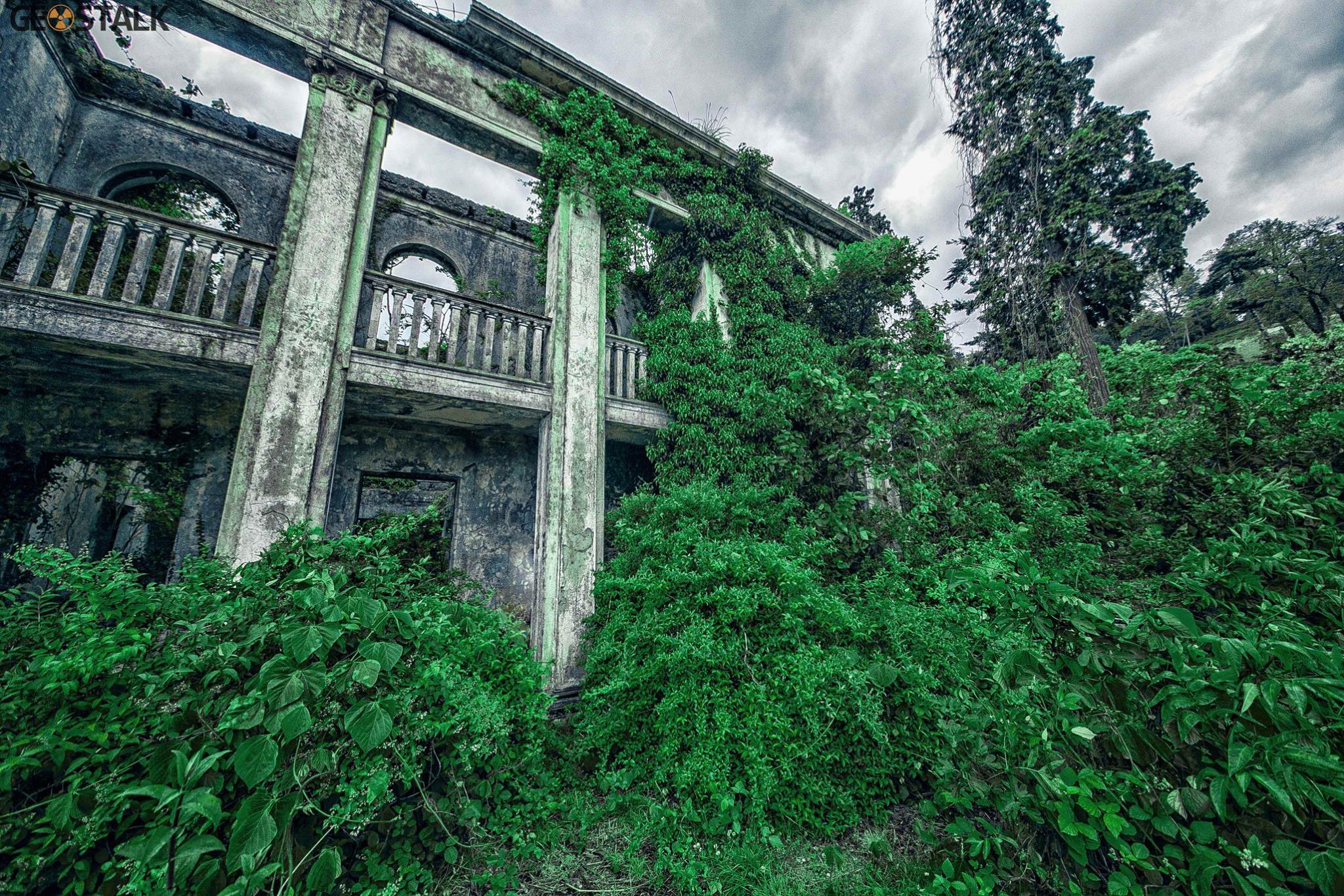
Sanatorium “Adjara” near Batumi
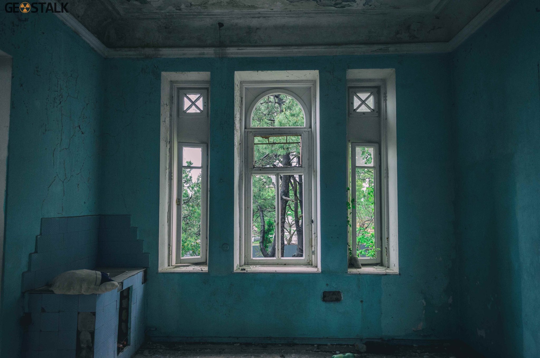
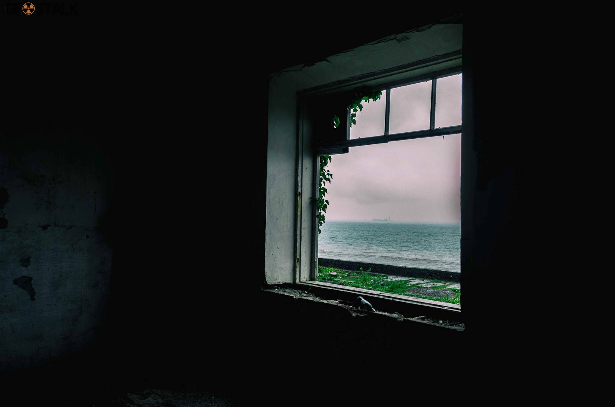
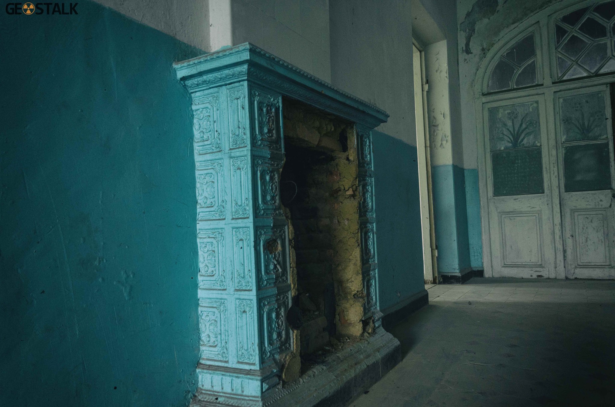
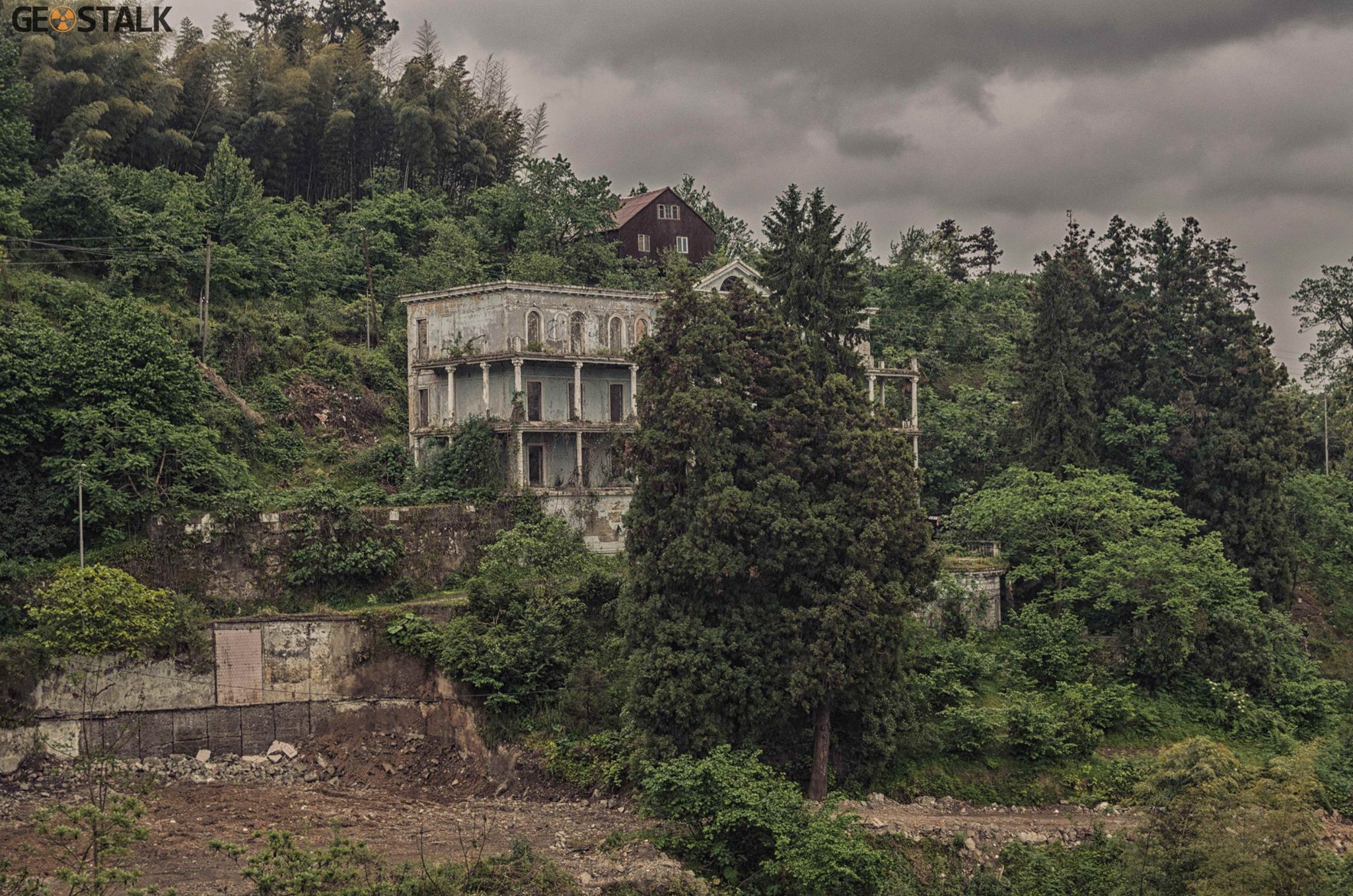
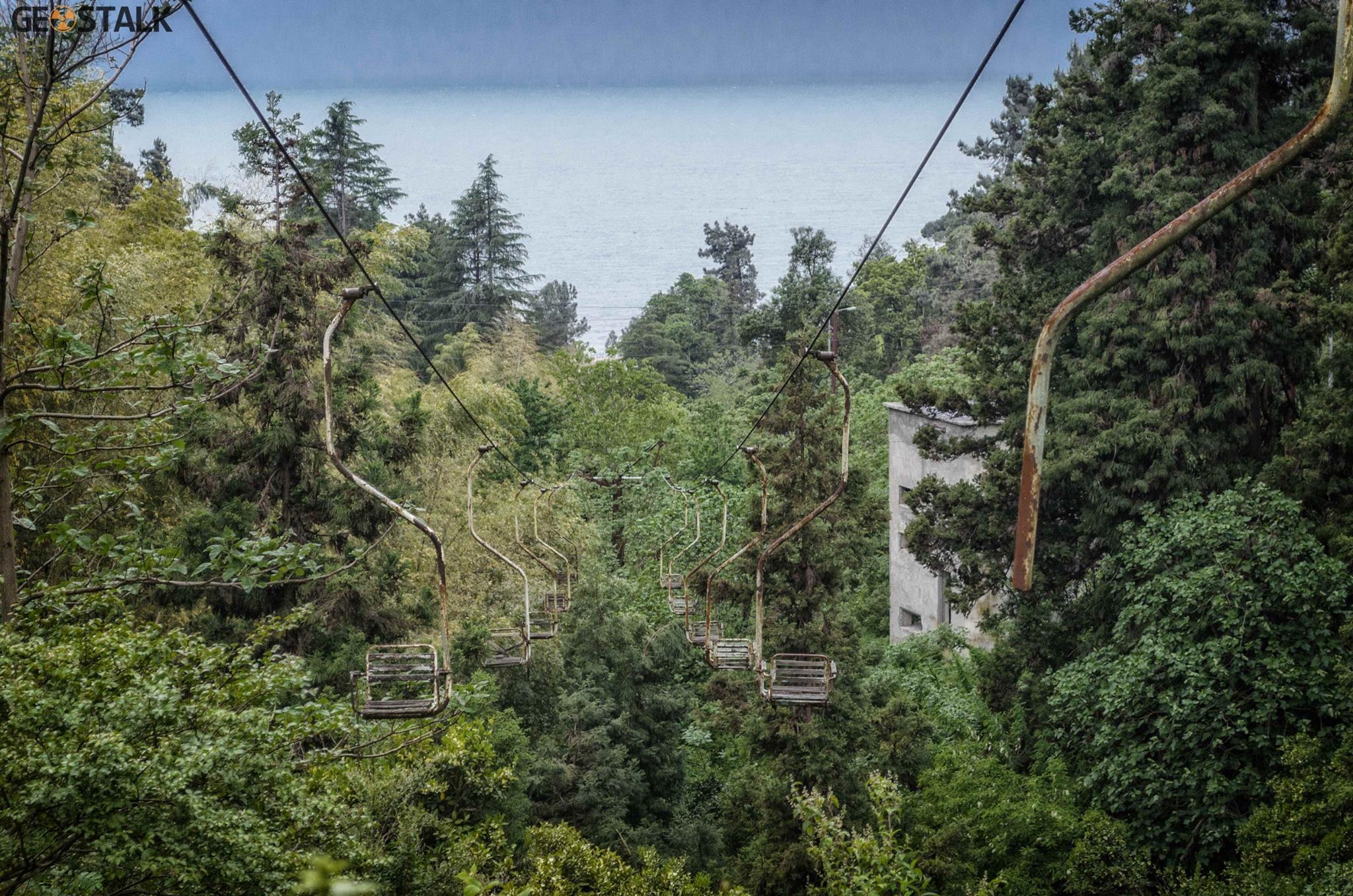
The sanatorium complex took shape over several decades, beginning in the 1930s. Spread across a prominent green hillside, it once included three main buildings, a terrace overlooking the sea, and its own cable car. Today, the entire ensemble is in ruins and heavily looted, with the first building reduced to remnants. The cable car – built in the 1960s and operating until the 1990s – linked the beachfront with the central structure and was one of the site’s most distinctive features.
Construction unfolded in stages: the earliest building rose in the 1930s, the second followed in the 1950s, and the third appeared in the 1980s. After the collapse of the Soviet Union, refugees from Abkhazia settled in the abandoned complex from 1993 until 2007, after which the area was left completely deserted.
A key figure in the sanatorium’s history was its longtime director and chief physician, Ianon Gogava. Active from the 1960s to the 1980s, he played a major role in developing the facilities: inviting specialists from Moscow to drill an artesian well, pushing forward the construction of the cable car, and overseeing much of the site’s organization. In its prime, the sanatorium was considered significant on an all-Union level, known for good service and drawing visitors from across the Soviet republics
View on map



Poti lighthouse
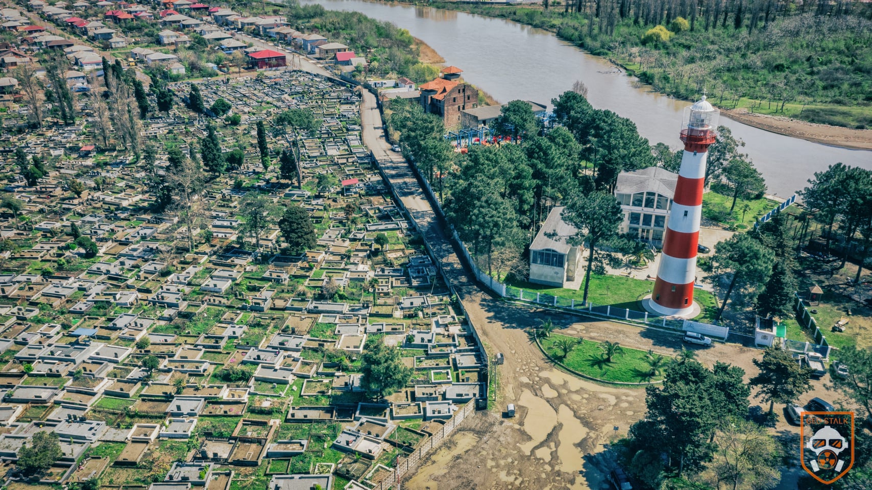
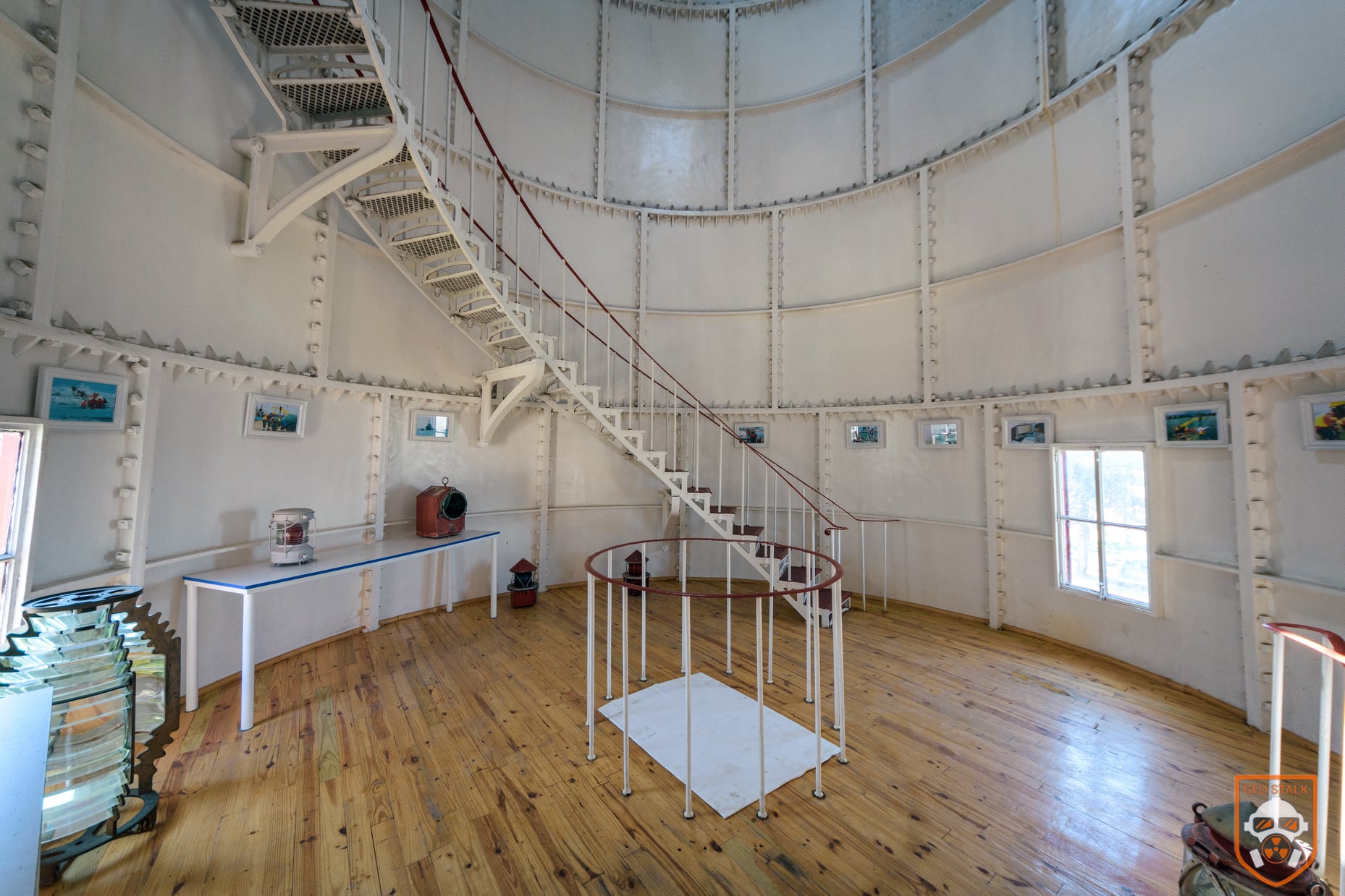
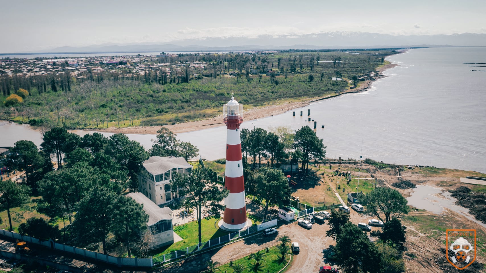
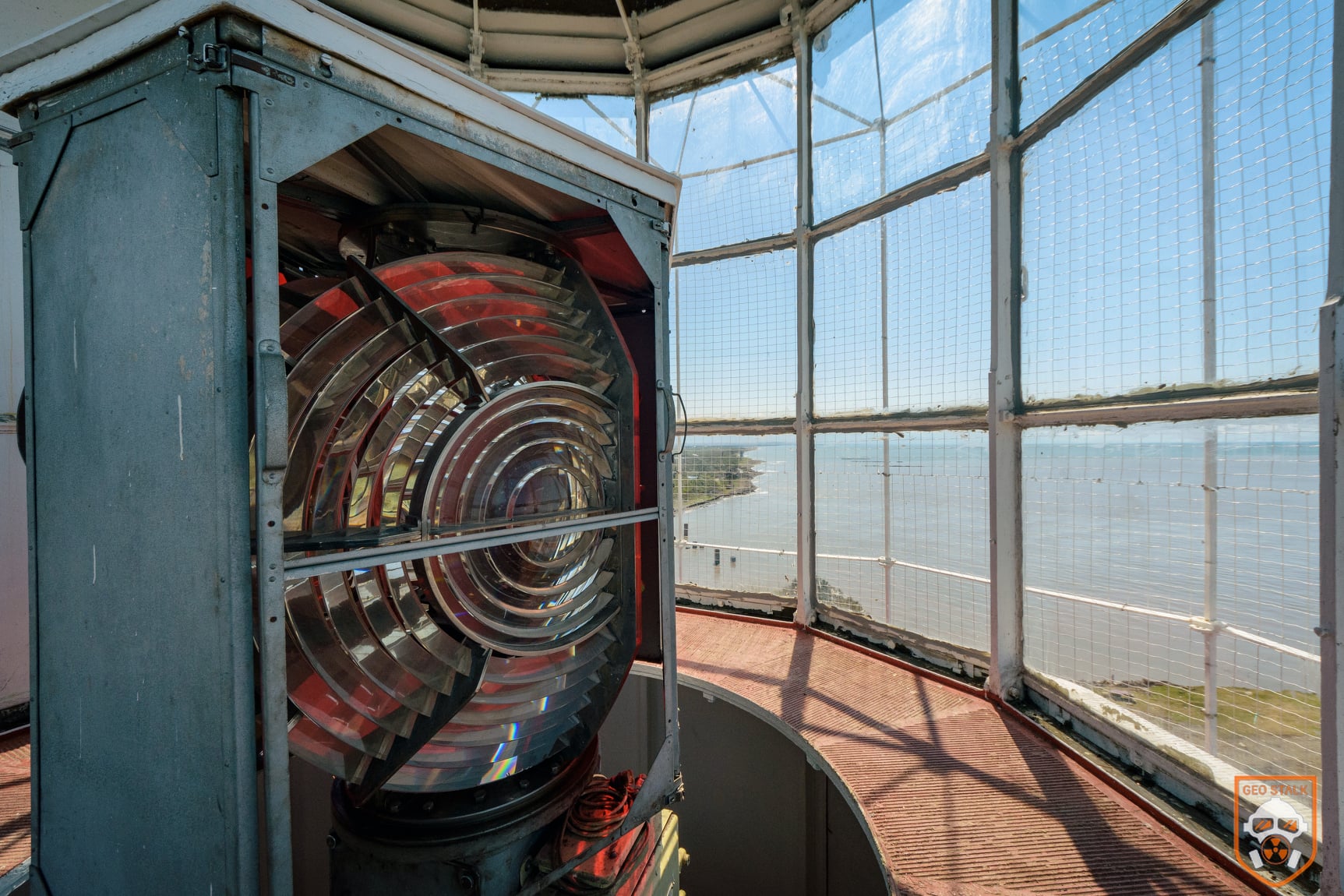
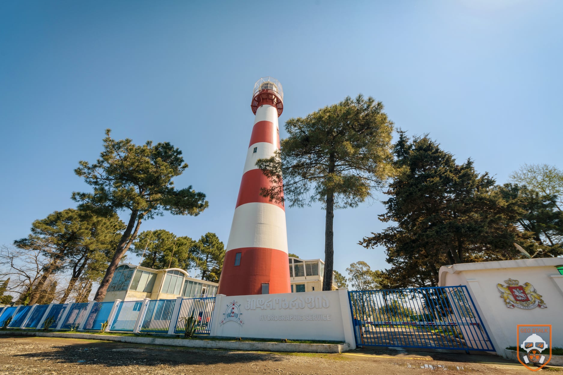
The Poti lighthouse has been operating since 1864. Construction began two years earlier, led by engineers from the British firm Easton Amos & Sons. Its cast-iron plates were manufactured in the U.K., numbered, and shipped to Poti, where the engineers chose the site themselves – right at the meeting point of the Rioni River and the Black Sea.
Koba Kokaia has worked here for 18 years. According to him, the lighthouse’s metal staircase has 160 steps, and the tower rises to about 40 meters. Its beam reaches roughly 30 kilometers out to sea, powered by oil and a Swedish-made wick.
Poti is full of stories about this lighthouse. Locals say football first appeared in Georgia thanks to the British engineers who built it, while residents of Poti gathered around to watch and later picked up the game themselves. Another tale claims that during World War II a German submarine tried to damage the light but failed, since Poti was a major strategic port for the Soviet military.
Despite its age, the lighthouse is still in active use today and continues to guide ships along the coast. More photos here
View on map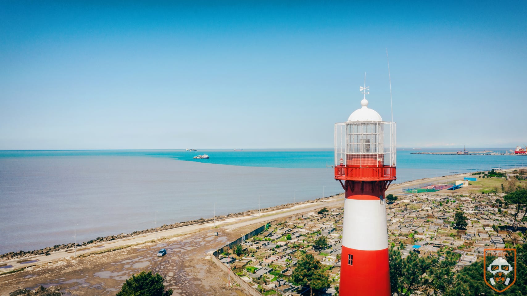


Anaklia Abandoned Cafe-Bar
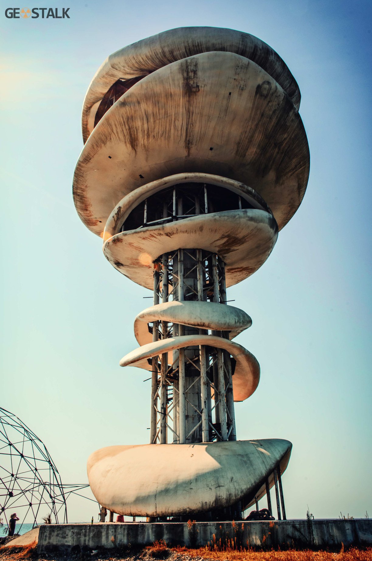
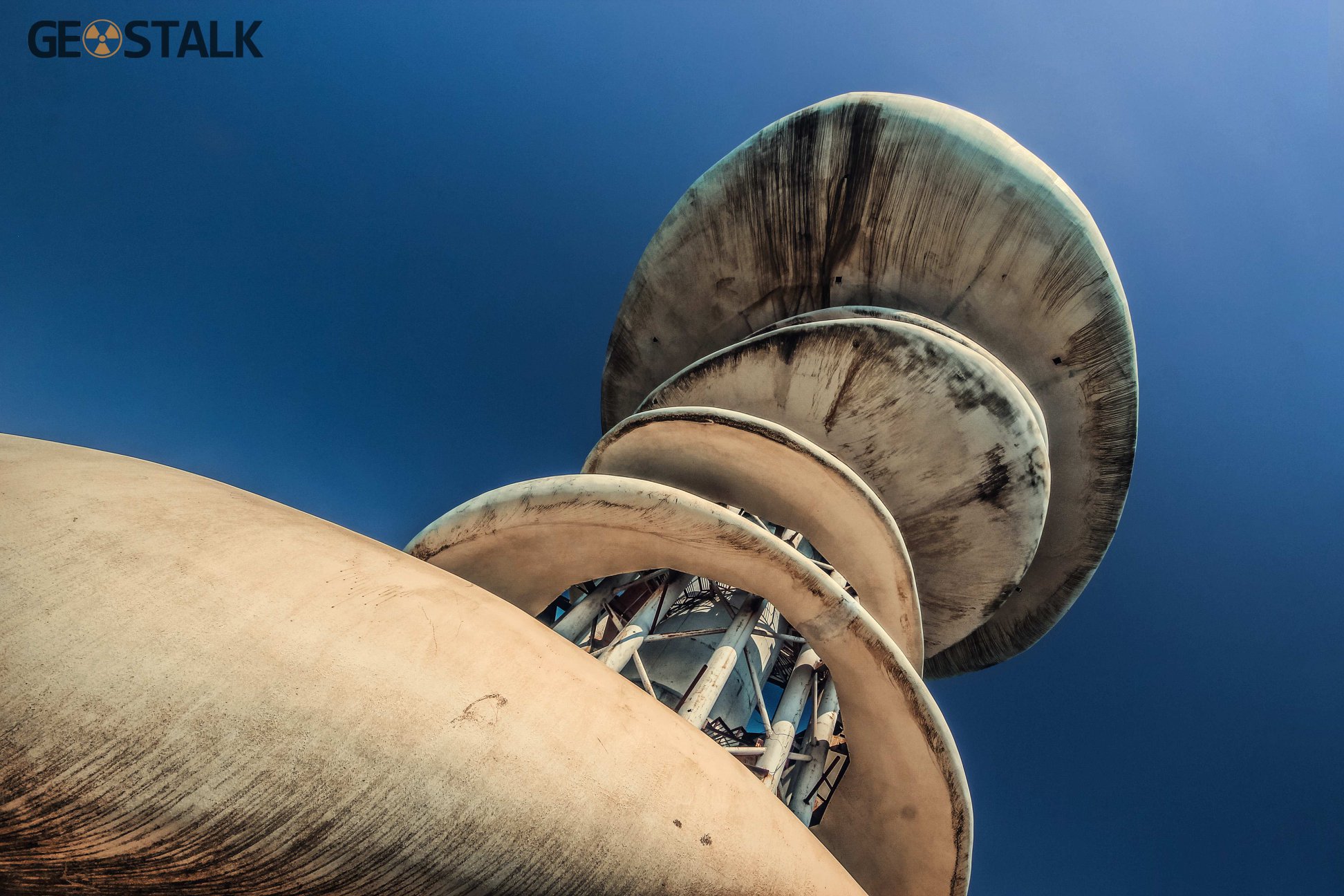
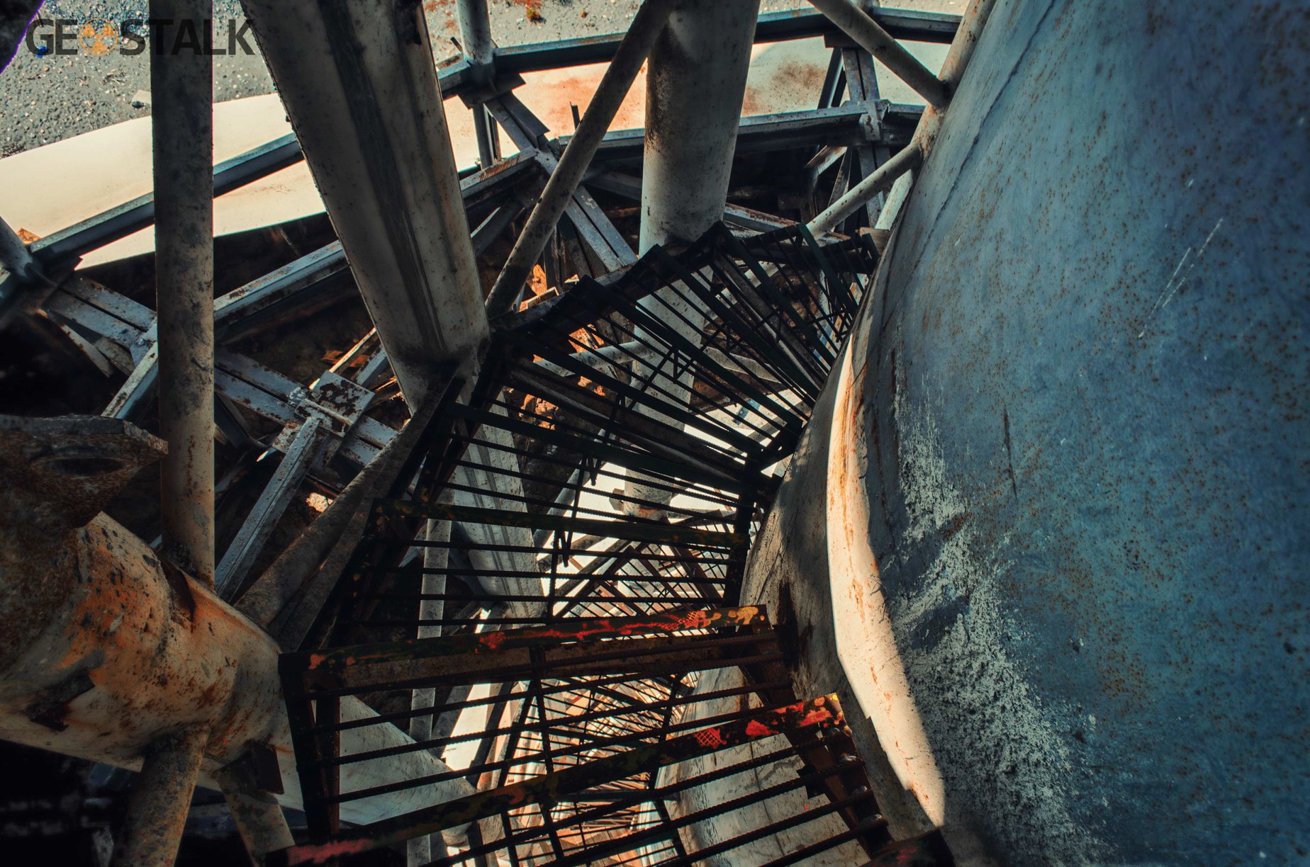
The unfinished café-bar stands on the Ganmukhuri coastline. Construction began in 2011 but was abandoned the following year, leaving a 40-meter-high structure behind. The original plan was to build a café-bar overlooking the sea, but it was never completed. Later, the building was used during the GEMFEST festival, mainly for mounting lighting equipment and as a decoration.
View on map



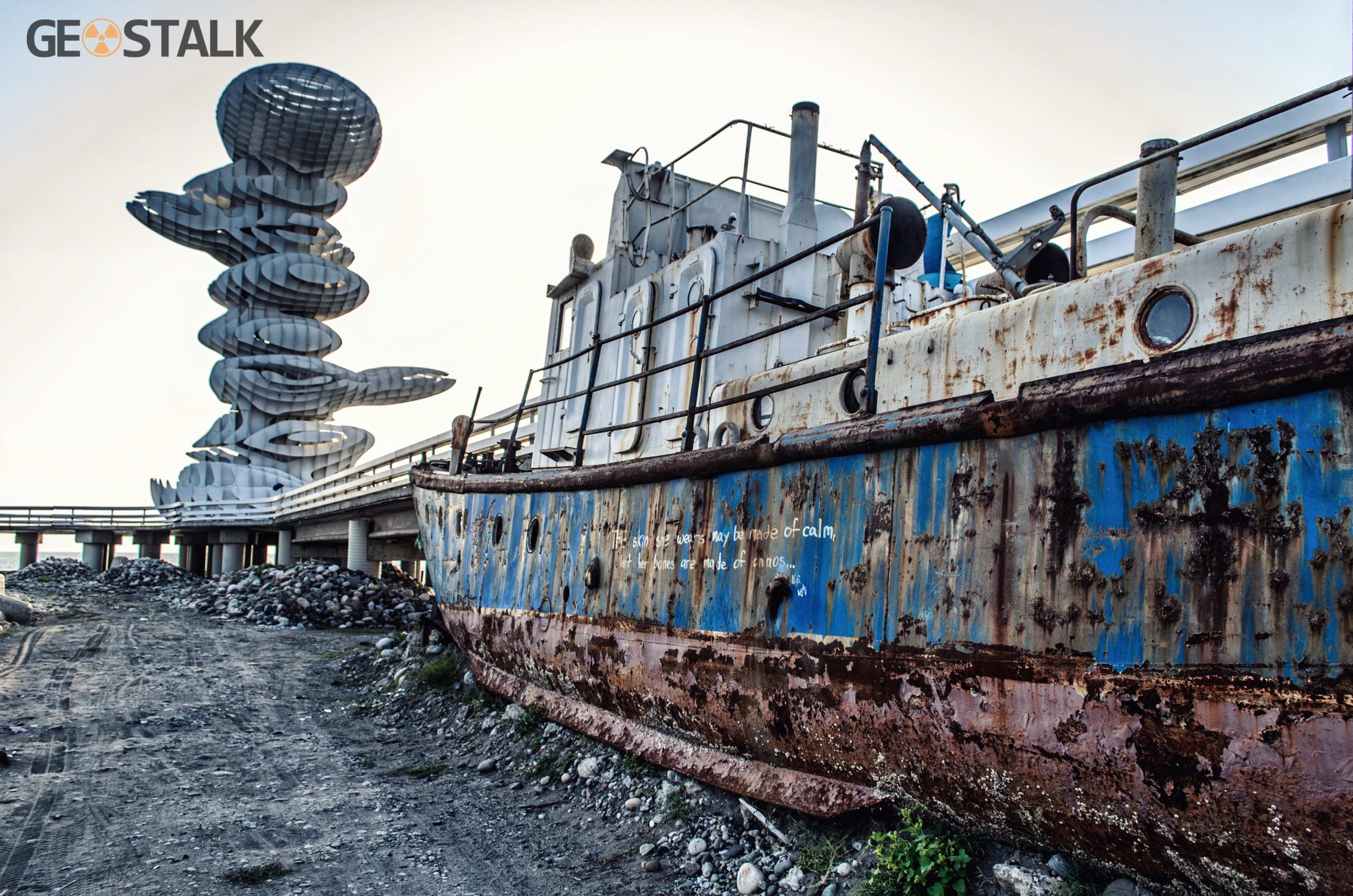
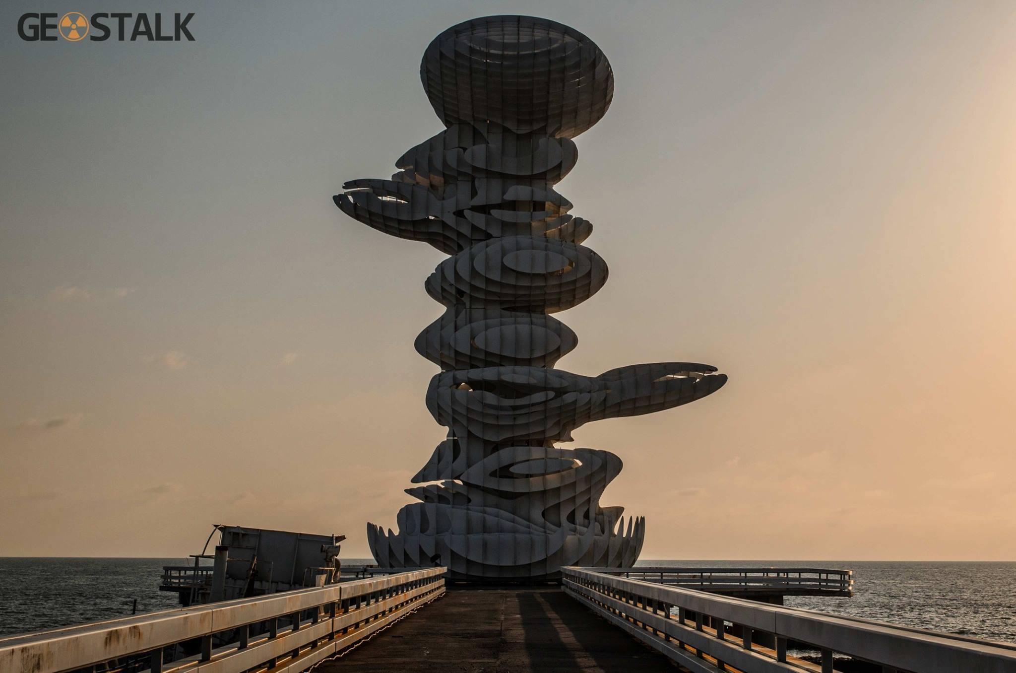
Anaklia Port Monument
The 30-meter metal structure of the stone tower was built in 2011. Located near the Anaklia port. In the evening it is lit in different colors. The little Pier is to reach the monument, at the foot of which is an abandoned ship. The purpose of the monument or any historical load at this stage is unknown.
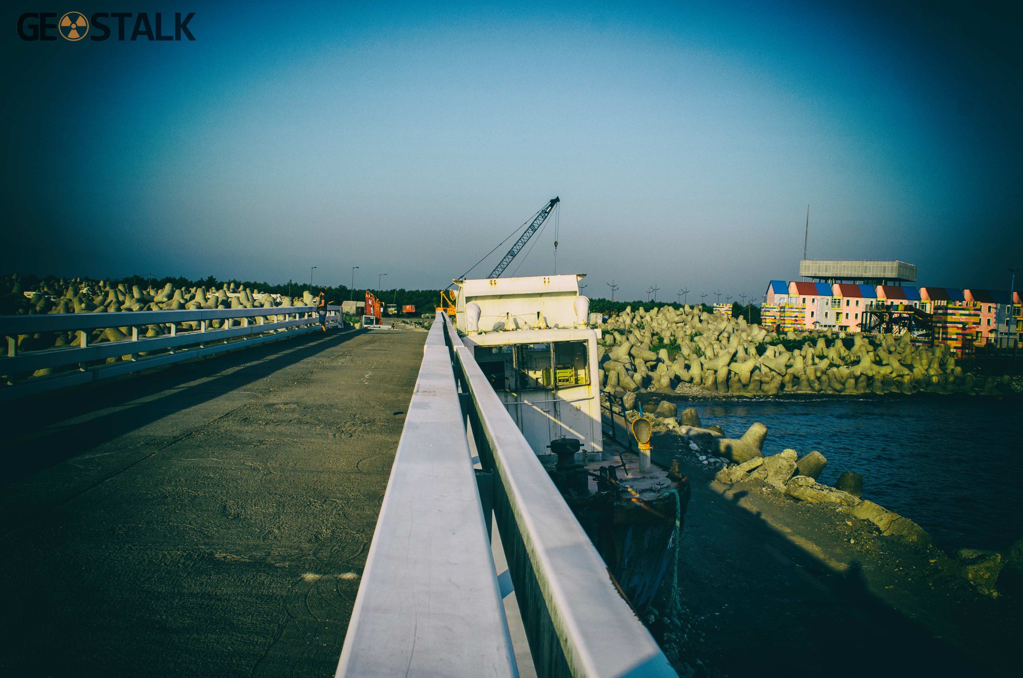


Anaklia Public Service Hall
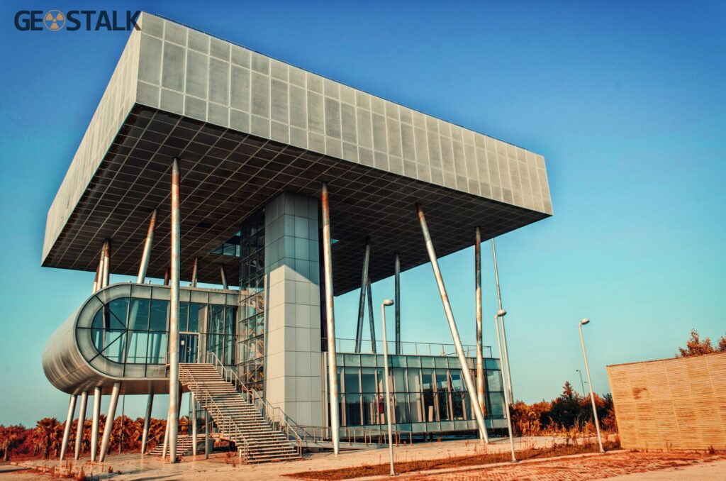
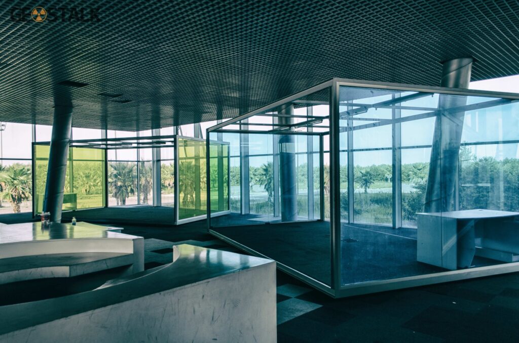
The glass structure, once referred to as the City Hall of Lazika, was later intended by the Ministry of Justice to serve as Anaklia’s Public Service Hall. It stands about 20 meters from the Anaklia Patriots Camp. Construction began in 2010 and was left unfinished in 2012- after change of the ruling party and the government. The building has three floors and an elevator. Although the site is generally well maintained, a damaged roof has allowed rainwater to seep in, affecting part of the interior.
View on map